School-Based Weather Station Network
East Vancouver Island
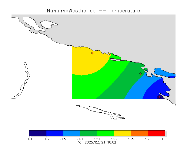
Temperature at our weather stations (40/164).
Place your mouse over a station (diamond) to see the current temperature at that location. Other variables can be found on our two-dimensional plot page.
See also: Victoriaweather.ca, IslandWeather.ca.
Stations in the Network
Uplands Park Elementary
1950-01-16 A thermometer at Lac la Heche, BC, recorded a temperature of -46.7°C. Weather officials said the reading was unofficial but quite possible. Residents said the cold was so intense their teeth ached when they opened their mouths. |
All Stations, One VariableSee plots for a single variable at all of the stations in the network. Summary of Recent ObservationsSee a graphical summary of the latest observations across the entire network. Now storing at least 12 112 801 081 observations. |
Contact information
For further information or data inquiries please contact Ed Wiebe at ecwiebe at uvic.ca. If you find a problem or have a question about the site please be sure to send the relevant site and page address (the URL from your browser's address bar). Also include a screen capture image if you can so that we can see what you are seeing.